Video: a century of aerial photography
Celebrating 50 years of Cambridge Museum of Technology, volunteers present a video of Cambridge’s industrial archaeology, as featured in a century of aerial photographs, taken from 1920s’ propellor-planes to 21st-century pilot-less drones!
The video includes:
transport infrastructure: railways, roads, bridges and aerodromes
utilities: energy-generation, sewage-treatment
construction, extractive industries (quarries and brickworks) and manufacturing (factories)
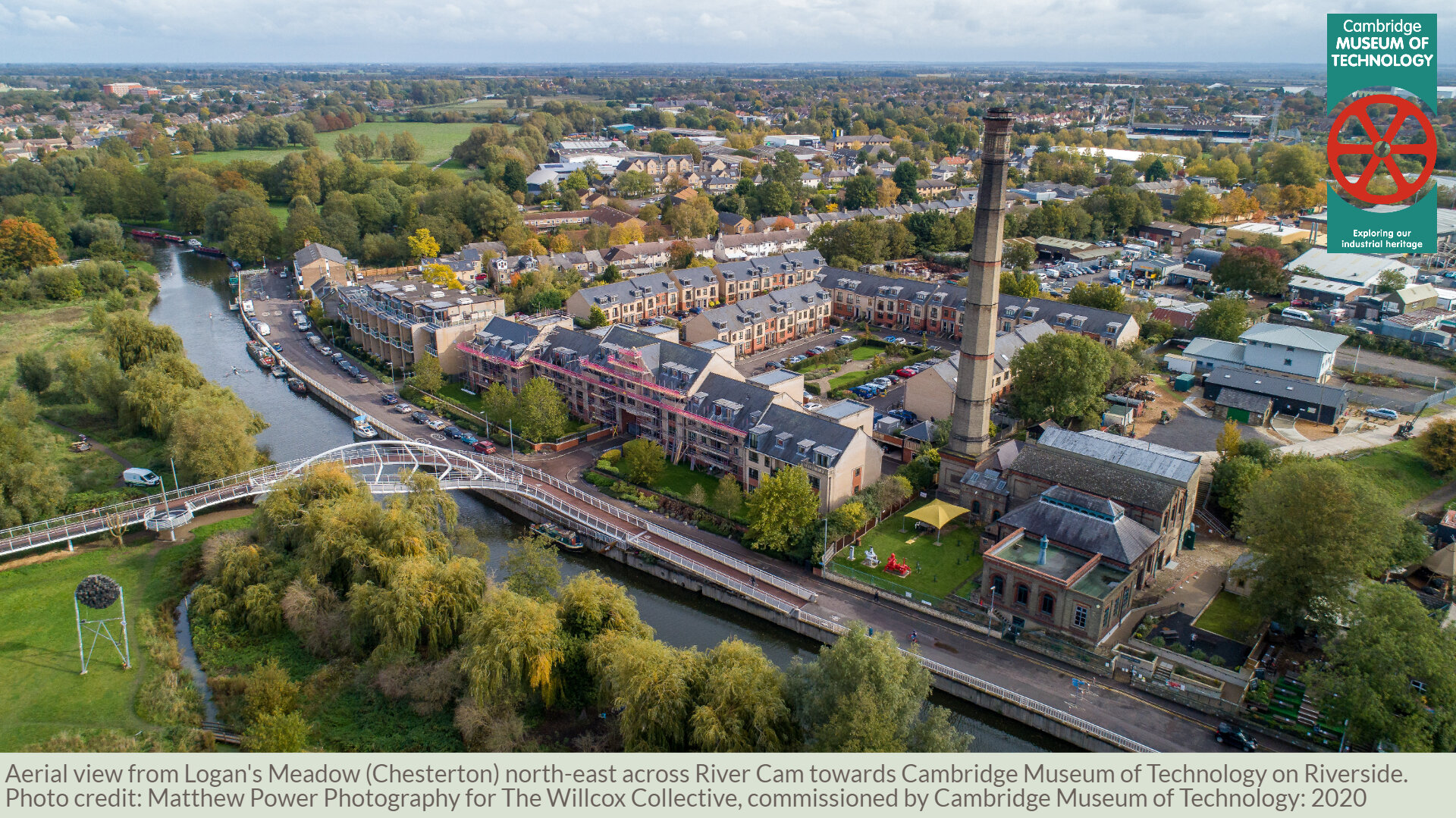
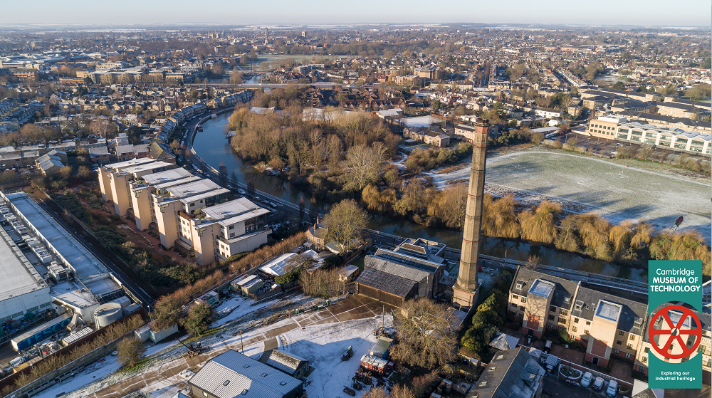
See a different side of Cambridge: our museum features permanent exhibitions about many of the companies and utilities glimpsed from above in these aerial-photo archives, including: Chivers, WG Pye & Sons, Cambridge University & Town Gas-Light Company and of course the old pumping station itself (now the site of the museum on Cheddars Lane).
How to watch
The video will premiere online on:
Cambridge Museum of Technology YouTube channel
Presented in Full High-Definition (1080p) at 60 frames-per-second: best viewed in widescreen with superfast broadband connection of at least 25 Mbits/second
(playback video also embedded on this webpage)Cambridge Museum of Technology Facebook
(optimised for smaller screens and slower network connections at 720p, 30 frames-per-second)
You can submit your questions for live response during the premiere via the Comments section on YouTube, Facebook, or this webpage.
About the video
Researched, written, presented and produced by staff and volunteers of Cambridge Museum of Technology.
Featuring aerial-drone video and photography (commissioned by Cambridge Museum of Technology), plus archive sources from:
Running time: 45 minutes
Language: English
Accessibility: YouTube version published with subtitles